
Environmental Analytics & Web Services
Comprehensive interactive climate mapping algorithms, automated water purity testing integration, ecosystem health indexing, carbon footprint tracking, and custom data visualizers for researchers.
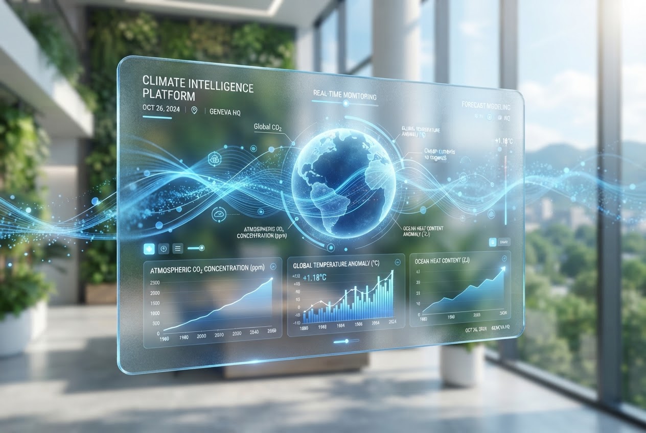
Climate Data Visualization
Our climate mapping platform transforms raw meteorological data into intuitive, interactive visualizations. Researchers can analyze temperature patterns, precipitation trends, and extreme weather events across temporal and geographic dimensions.
- ✓ Real-time weather data integration
- ✓ Interactive temperature and precipitation mapping
- ✓ Historical climate trend analysis
- ✓ Extreme weather event detection and alerts
Water Purity Analytics Engine
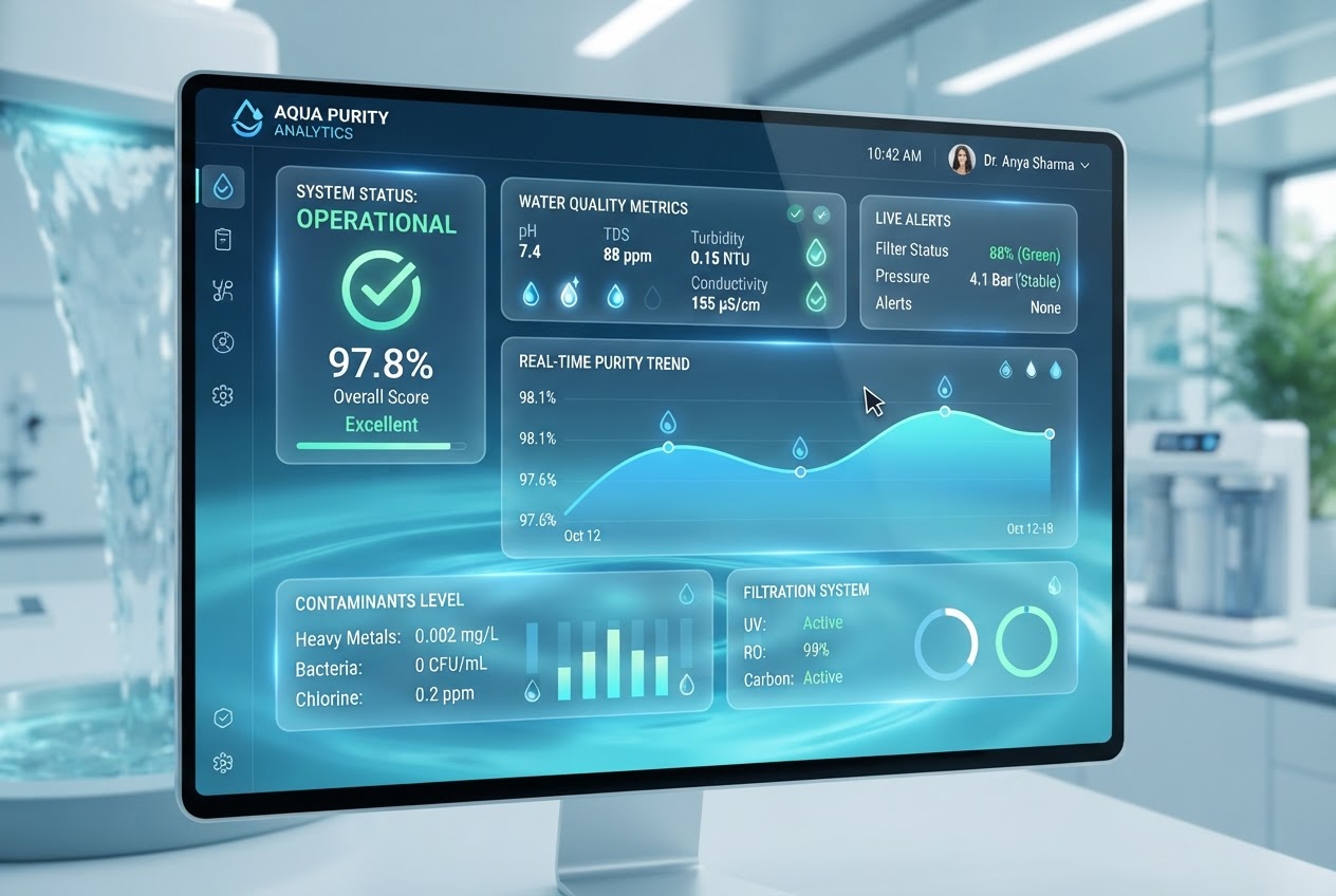
Monitor water quality metrics across rivers, lakes, and aquifers. Our automated testing integration provides real-time contamination detection and purity assessment, ensuring ecological health and human safety.
- ✓ Real-time water quality monitoring
- ✓ Automated contamination detection
- ✓ Chemical and biological analysis
- ✓ Predictive water quality forecasting
Real-Time Ecological Monitoring
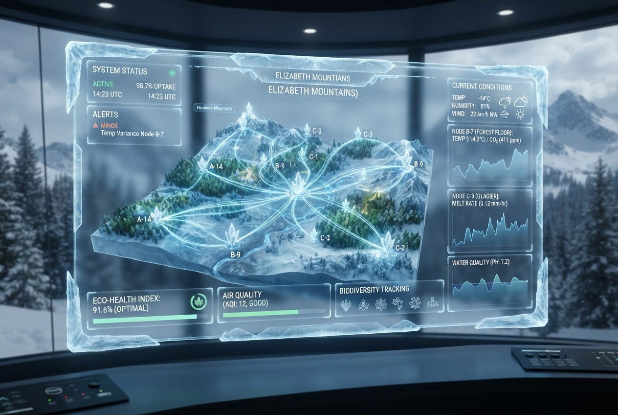
Track ecosystem health through biodiversity indices, species population dynamics, and habitat integrity assessment. Our platform integrates satellite imagery with ground-based sensor networks for comprehensive ecological insight.
- ✓ Biodiversity index calculations
- ✓ Species population tracking
- ✓ Habitat health assessment
- ✓ Satellite and sensor data fusion
Environmental Impact Dashboards
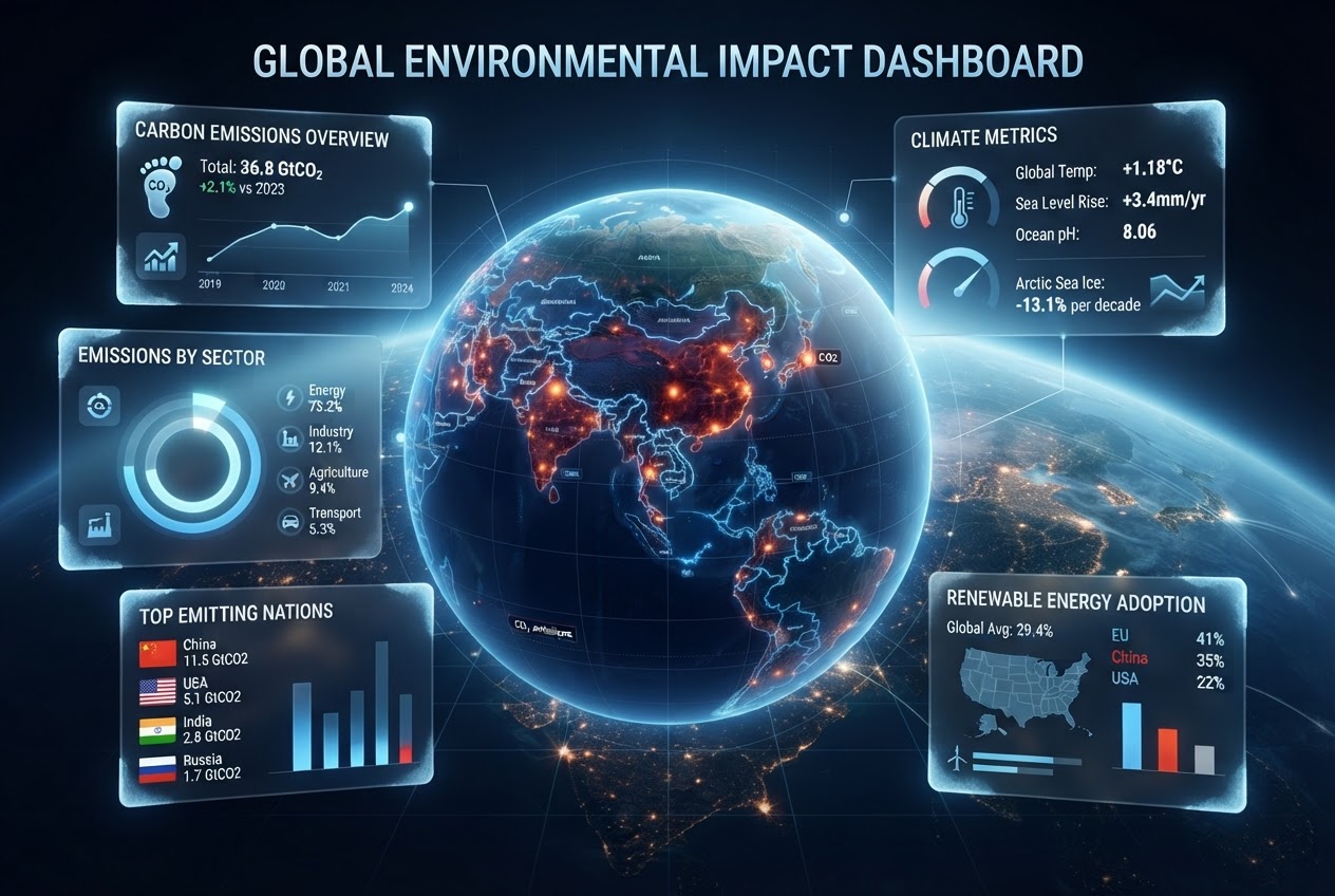
Create custom data visualization dashboards tailored to your research or business needs. Track carbon footprints, sustainability metrics, and environmental indicators in real-time with interactive, shareable visualizations.
- ✓ Carbon footprint tracking and reporting
- ✓ Sustainability metrics visualization
- ✓ Custom dashboard creation
- ✓ Shareable reports and analytics
Key Features
Interactive Mapping
Explore environmental data through intuitive, interactive maps and visualizations.
Real-Time Updates
Receive live data streams and instant alerts for critical environmental changes.
Data Export
Export findings in multiple formats for research publications and reports.
API Integration
Seamlessly integrate our data services into your existing research systems.
Scalable Platform
Handle massive datasets with our cloud-based infrastructure.
Expert Support
Dedicated technical support for implementation and optimization.